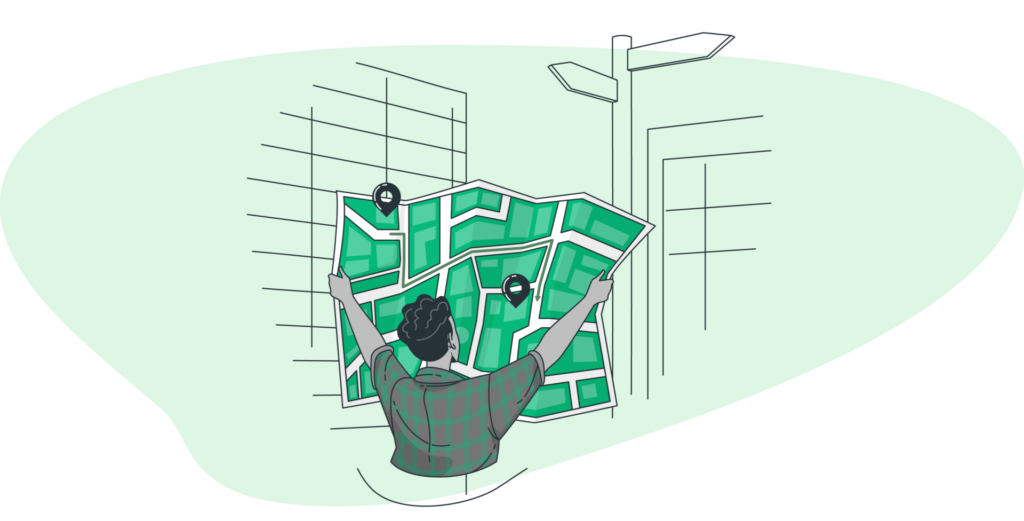
Geo map route planning is a crucial aspect of modern transportation, whether for creating a sales route or logistics management. With the proliferation of GPS technology and online mapping tools, it’s easier than ever to plan and execute efficient multi stop routes. In this blog post, we’ll explore the various considerations that go into geo map route planning, as well as the different tools and resources available for this purpose.
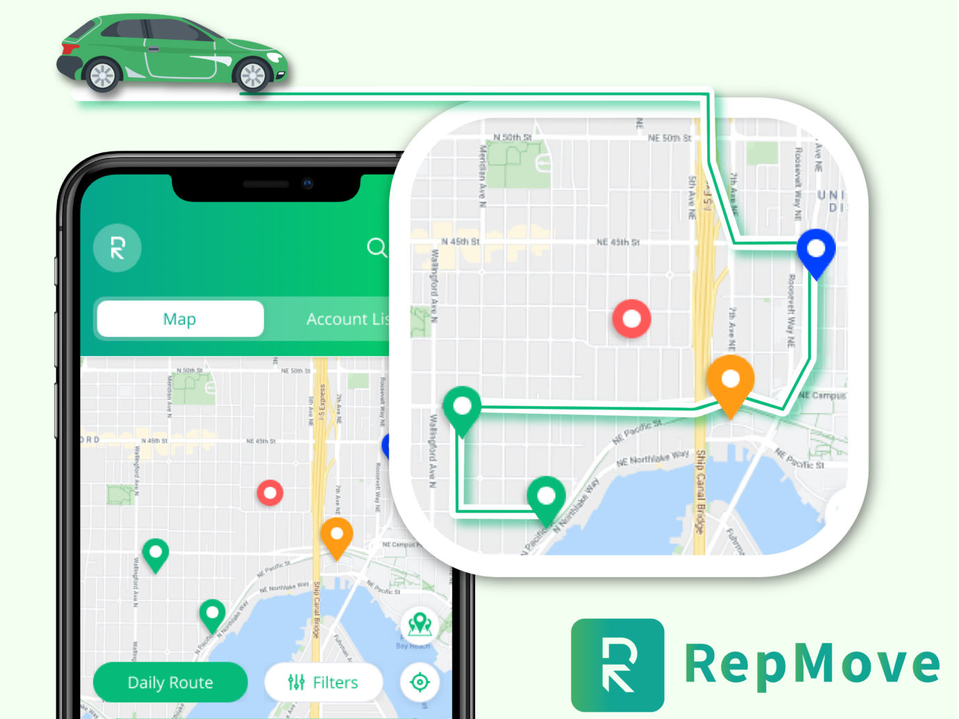
Geo map route planning is a crucial tool that helps you optimize your sales efforts by improving the efficiency of your sales representatives' routes. With the help of advanced mapping technology, sales reps can plot the most efficient route, taking into account traffic patterns, distances, and other important factors.
By using geo map route planning, you can not only save time and money on travel expenses but also increase the number of customer visits sales reps can make in a day.
Geo map route planning software can also provide you with valuable data on customer locations and sales trends. By analyzing this data, you can identify areas where sales are strong and where there may be untapped potential. This information can help you focus your sales efforts and target specific areas more effectively.
Furthermore, by optimizing the routes, sales reps can improve customer satisfaction by ensuring timely and efficient service. This can lead to increased customer loyalty and repeat business.
First and foremost, let’s define what we mean by “geo map route planning”. Essentially, this refers to the process of determining the most efficient or cost-effective path from one location to another, taking into account various factors such as distance, traffic, terrain, and road conditions. You can do it manually, with a map and a ruler or calculator, or you can use specialized software or online tools to automate the process.
Many different factors can affect the optimal route for a given trip. Distance is an obvious consideration, as the shorter the distance, the less time and fuel you require to complete the trip. However, distance is not the only factor to consider. Traffic patterns, road conditions, and terrain can also play a role in determining the best route.
A road prone to heavy traffic congestion may not be the fastest option, even if it is the shortest distance. Similarly, a road that is steep or winding is not always the most efficient choice for the vehicle in use if it has a low fuel efficiency or is prone to overheating. On the other hand, a road in good condition may be the most efficient option, even if it is slightly longer than another route.
In addition to these physical factors, there may also be other considerations that come into play when planning a route. For example, if you are transporting goods, you may need to consider the availability of loading and unloading facilities, as well as any potential delays or restrictions that may be encountered along the way.
Another important factor to consider is cost. The shortest distance is not always the most cost-effective option, it’s important to take into account any tolls or other fees along the route. Similarly, fuel costs can be a significant factor, especially for long trips or for vehicles with low fuel efficiency.
Geo mapping is the process of representing geographical data on a map. It involves plotting data points on a map using coordinates, such as latitude and longitude, to represent the location of the data.
Maps can represent physical and man-made features and data points linked to a location, like population density and crime rates. Geo-mapping visualizes location-specific data like population density and crime rates.
To create a geo map, you need a dataset with the coordinates of the data points you want to plot on the map. This dataset can be in the form of a spreadsheet or a database. It also should include the relevant coordinates for each data point. Once you have your dataset, use a mapping tool or software to plot the data points on a map. Many mapping tools allow you to customize the appearance of the map, such as the type of map projection, the style of the map, and the level of detail displayed.
Geo mapping is a powerful tool for visualizing and analyzing geographical data, and it has a wide range of applications in fields such as geography, cartography, and data science.
So, how do you go about planning a geo map route? There are a variety of multi-stop routing tools and resources available to help with this process. One of the most popular options is the use of online mapping tools such as Google Maps or MapQuest. These tools allow you to enter your starting and ending locations. They will provide you with a range of route options, complete with estimated distances, travel times, and costs (if applicable).
In addition to online mapping tools, there are also specialized software programs available for route planning. These programs are often more advanced and offer a wider range of features. For example, the ability to plan routes for multiple vehicles or to take into account specific vehicle characteristics (such as weight or fuel efficiency).
Another option is to use a GPS device or smartphone app to plan and navigate your route. Many GPS devices and apps offer features like real-time traffic updates, alternative route suggestions, and the ability to avoid toll roads or other restricted areas.
Regardless of the method you choose, it’s important to be flexible and open to making adjustments as needed. Even the best-laid plans can be disrupted by unforeseen circumstances, so it’s important to be prepared to make adjustments.